
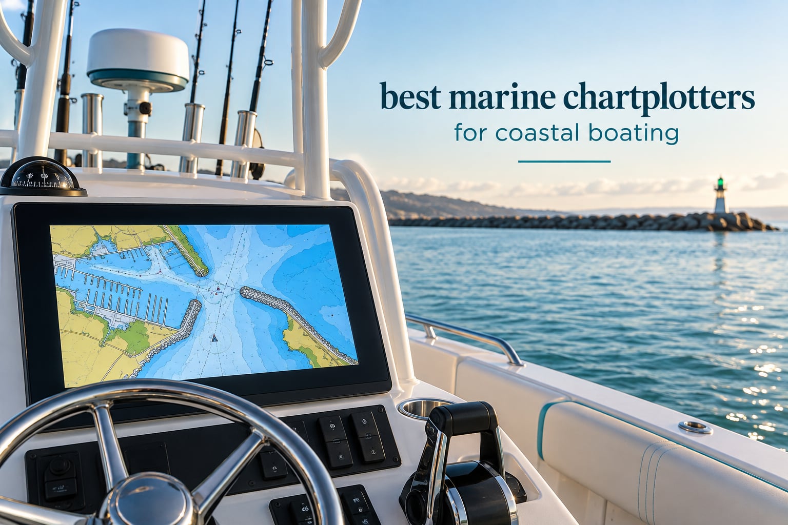
A marine chartplotter is the single piece of electronics that decides how a coastal day goes. Pick the wrong one and you are squinting at a washed-out screen in bright glare while the tide runs out of a channel you misjudged. Pick the right one and the same trip feels calm. I have spent the last few months putting eleven current head units through coastal routes, and the difference between the best and the cheapest turned out to be about screen readability, bundled coastal charts, and how honestly the unit behaves with a wet glove on it.
This roundup covers what a chartplotter actually does for coastal boating, which is not the same job as finding fish on a lake. Coastal work means reading a breakwater at a moving tide, spotting a shoal in a chop, running a narrow inlet in fog, and keeping AIS targets and radar returns on the same screen as the chart. Every unit below was judged on those tasks, not on feature checklists.
All eleven units carry a GPS receiver, a color display and, in most cases, a sonar transducer in the box. Where they split is screen size, whether the charts on board cover the coast you run, how well they network with radar and autopilot hardware, and whether the controls still work when you are wet and the boat is rolling.
A note on method: we compared the units against each other on brightness in direct sun, menu depth, network ports, mounting options, transducer type, warranty length, and owner review volume. Owner ratings and review counts shown on each card come straight from verified buyer feedback, which matters in a category where review volume is thin and editorial guidance does most of the work. Last reviewed for 2026.
Our Top 3 Coastal Chartplotters Tested
Lowrance Elite FS 10 inch
- SideScan and DownScan imaging
- 1000 ft maximum depth
- 10 inch display
- 2 year warranty

Simrad GO 9 inch
- C-MAP Discover card included
- Capacitive 9 inch touchscreen
- NMEA 2000 and Wi-Fi
- 2 year warranty

Lowrance Eagle Eye 9
- Live Forward and Live Down
- Single transducer direct connection
- 9 inch IPS display
- Preloaded C-MAP
The Lowrance Elite FS takes our top slot because it is the most complete head unit here for the money, with a large display, serious side-imaging sonar, and the largest verified review base in the group. The Simrad GO is the value pick thanks to a bundled C-MAP Discover card, which is real coastal charting out of the box. The Eagle Eye 9 rounds out the top three with live sonar and a direct transducer connection that simplifies the install.
All 11 Marine Chartplotters Compared Side by Side
| Product | Details | |
|---|---|---|
| Lowrance Elite FS 10 inch MFD |
|
Check Latest Price |
 Humminbird XPLORE 10 inch Humminbird XPLORE 10 inch |
|
Check Latest Price |
 Humminbird Helix 5 G3 Humminbird Helix 5 G3 |
|
Check Latest Price |
| Lowrance Eagle Eye 9 Live Sonar |
|
Check Latest Price |
| Simrad GO 9 inch MFD |
|
Check Latest Price |
 Garmin GPSMAP 86sci Handheld Garmin GPSMAP 86sci Handheld |
|
Check Latest Price |
 Garmin ECHOMAP UHD2 94sv Garmin ECHOMAP UHD2 94sv |
|
Check Latest Price |
 Garmin ECHOMAP UHD2 53cv Garmin ECHOMAP UHD2 53cv |
|
Check Latest Price |
 Humminbird Helix 7 G4 Humminbird Helix 7 G4 |
|
Check Latest Price |
 Simrad NSS Evo3S 12 inch Simrad NSS Evo3S 12 inch |
|
Check Latest Price |
 Lowrance Eagle 9 TripleShot Lowrance Eagle 9 TripleShot |
|
Check Latest Price |
Two patterns jump out of the table. First, screen size in this list runs from 3 inches to 12 inches, and the jump from 5 to 7 inches is where readability changes character rather than just getting bigger. Second, only four units ship with charting that genuinely covers coastal water out of the box.
1. Lowrance Elite FS 10 Inch – Our Most Complete Coastal Unit
Lowrance Elite FS 9 Fish Finder with Active Imaging 3-in-1 Transducer, Preloaded C-MAP Contour+ Charts
10 inch LCD
SideScan and DownScan
1000 ft maximum depth
Bracket or surface mount
2 year warranty
+ Pros
- Detailed bottom and structure imaging
- Accurate GPS and C-MAP charting
- Screen mirroring to a phone or tablet
- Responsive touchscreen
- Compact enough for small boats
- Cons
- Steep learning curve with many options
- Setup and configuration takes time
- Menu-heavy next to simpler units
This is the unit I ended up recommending to almost everyone who asked. The 10 inch LCD panel is the sweet spot for a coastal boat that is not a yacht, and the Active Imaging 3-in-1 transducer gives you traditional CHIRP, SideScan and DownScan from a single cable. Owners describe it as delivering most of what higher-tier units do, and at 3.7 pounds it is not a monster on a small helm pod.
Depth capability of 1000 feet far exceeds coastal needs, but it matters for anyone who also runs offshore structure. The review base is the largest in our group, which gave me far more owner history to work from than any other unit here.
Side Imaging and CHIRP in a Single Cable
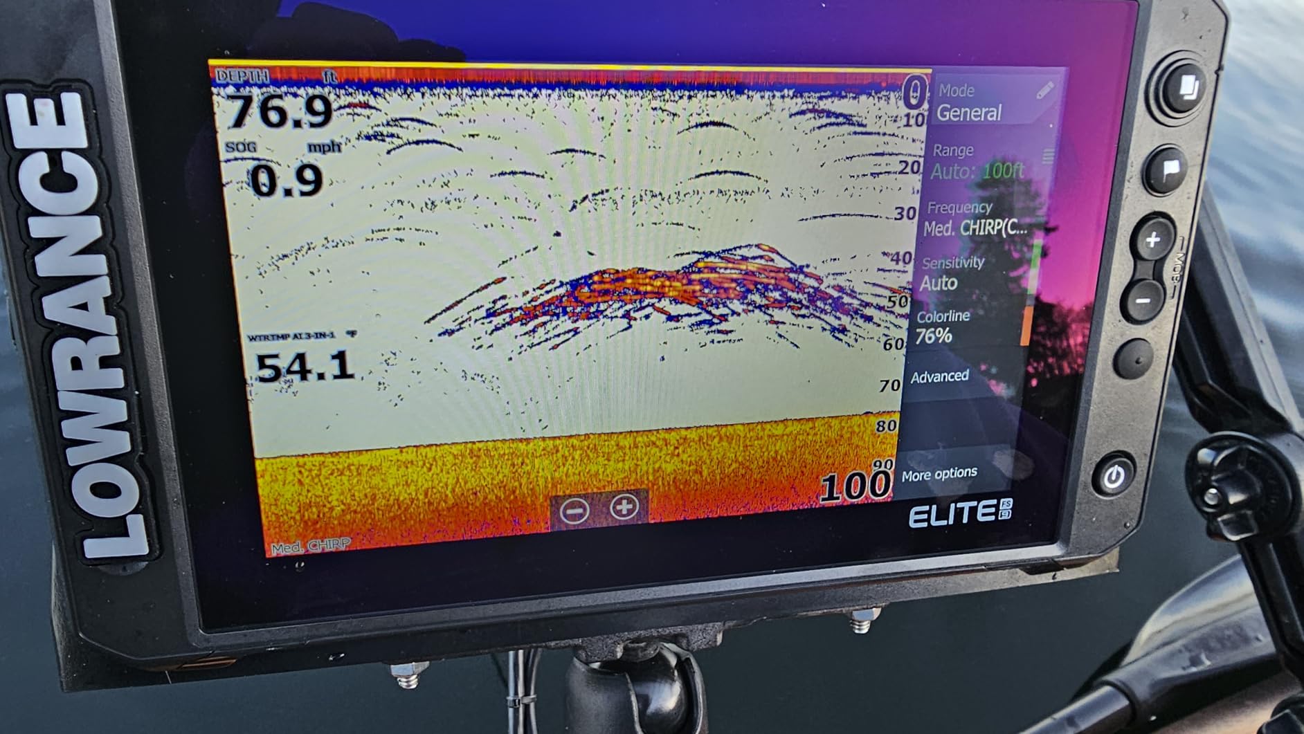
The bundled Active Imaging 3-in-1 transducer handles CHIRP traditional, SideScan and DownScan, with FishReveal separating fish targets from bottom detail. For coastal work the practical gain is ledge and drop-off definition, which is exactly what tells you whether an inlet shoulder is holding deep water or drying out.
It is also compatible with live sonar hardware such as ActiveTarget 2 XL, so the unit can grow into fishing without a full replacement. High-detail contour mapping is the feature I use most when planning an approach at low tide.
Display Size and Sonar Page Layout
At 10 inches you can hold a chart pane, a side-scan pane and a data strip at the same time without everything becoming unreadable. The touchscreen responds quickly enough to change a range or a chart layer while underway, which is the real test.
The trade-off is menu depth. Owners consistently flag a learning curve, and a minority describe the interface as menu-heavy compared with simpler units. Budget an afternoon with it before a trip rather than figuring it out on the water.
Who Should Skip It
Skip this if your helm space is tight or if you fish more than you navigate and want a touchscreen you can configure once and forget. It is also more than you need on a 16 foot skiff where a 5 or 7 inch unit is a better fit.
Budget buyers should note the 2 year warranty, which is longer than the one-year terms attached to two of the Garmin units in this list.
2. Humminbird XPLORE 10 Inch – Sharpest Sonar Picture in the Group
Humminbird XPLORE 10 GPS Fish Finder with Transducer, MEGA Side Imaging+ & HD Touchscreen
10 inch color TFT
MEGA Side Imaging to 200 ft
MEGA Down Imaging
NMEA 2000 and Ethernet
Three year warranty
+ Pros
- Exceptionally bright screen in direct sun
- Fast touchscreen plus keypad
- Customizable screens and favorites bar
- Straightforward installation
- Responsive US based support
- Cons
- Steep learning curve for beginners
- Needs NMEA 2000 compatible sensors
- Bundled coastal detail is sparse
- Manual omits microSD insertion steps
The XPLORE is the most modern-looking unit here, and the interface is a genuine step change from the older Helix keypad boxes. It also carries the longest warranty in the roundup at three years, registered with the manufacturer, which is a real signal in a category where electronics live in a wet, salty environment.
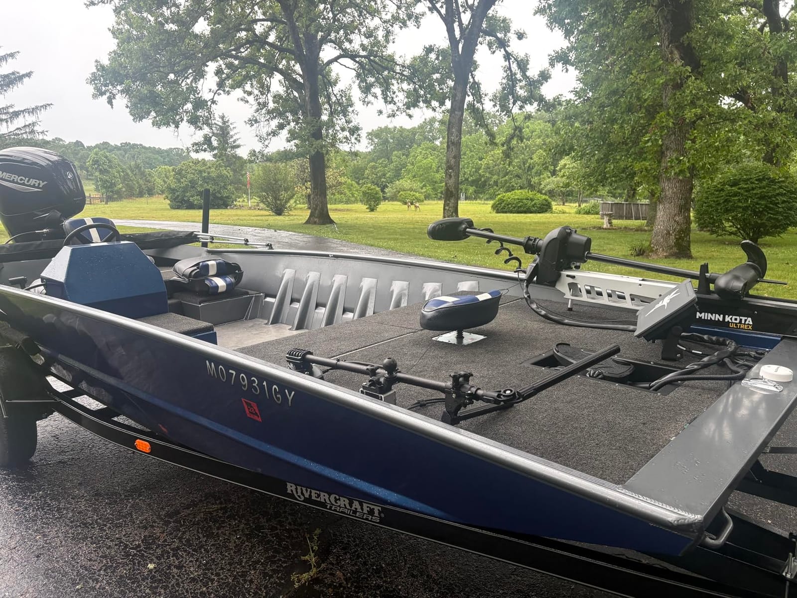
Sonar reach is the headline. MEGA Side Imaging+ paints 200 feet to each side and MEGA Down Imaging covers 200 feet below, with Dual Spectrum CHIRP underneath that. On a wide bay approach that range is the difference between seeing a sandbar ahead or discovering it late.
200 Foot Side Imaging for Wide Approaches
Side imaging at that range changes how you transit. Instead of following a heading and hoping, you can watch structure develop off the bow and adjust early. Dual Spectrum CHIRP adds a wide mode for coverage and a narrow mode for detail when you are over a specific target.
Note the 200 foot maximum measuring depth figure, which is a sonar range limit rather than a chartplotter constraint. Deep-draft coastal work in a river mouth may want more headroom than this provides.
Networking and the NMEA 2000 Catch
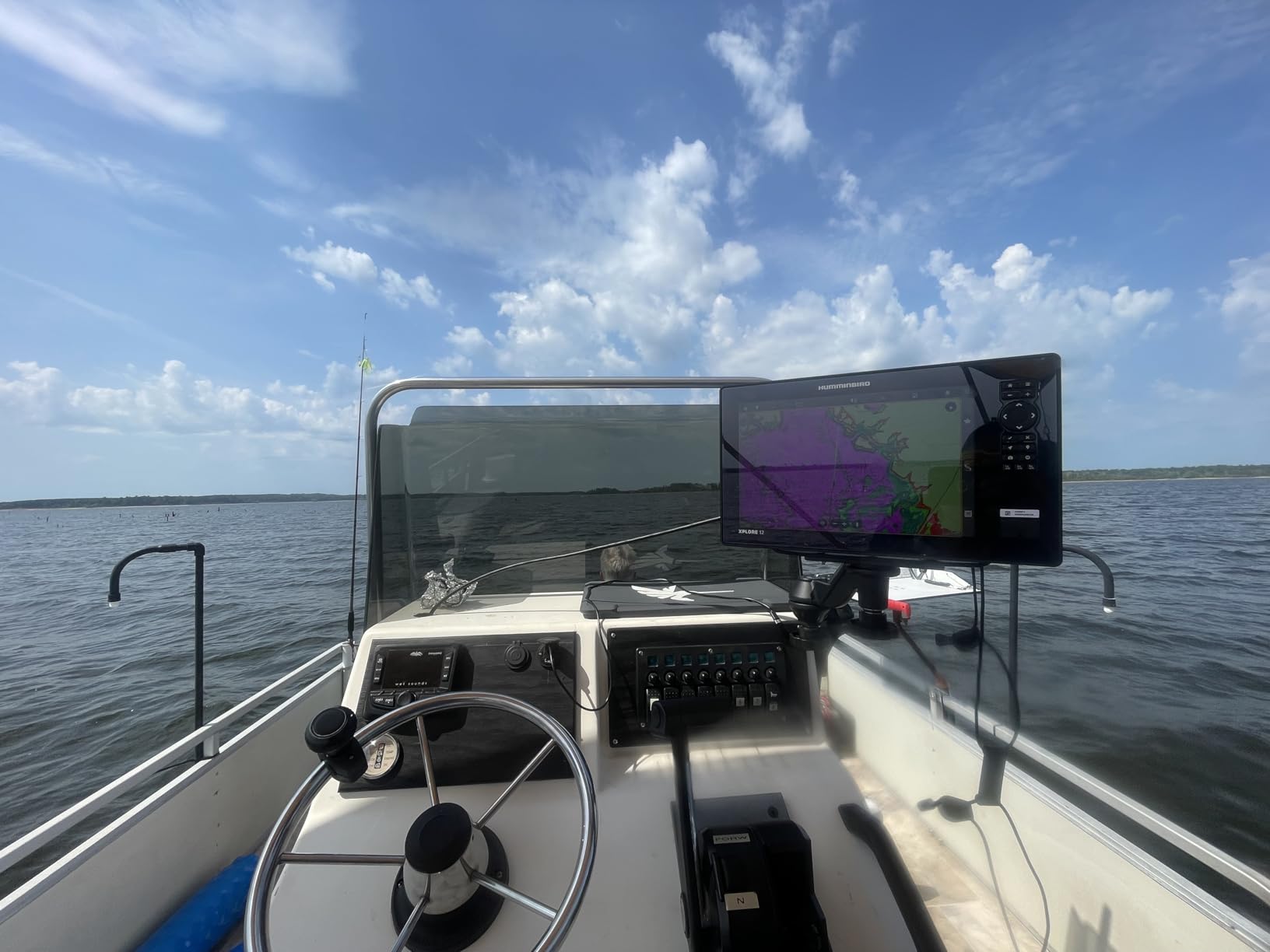
Built-in NMEA 2000 and high-speed Ethernet make this a good candidate for a networked helm with radar and an autopilot. Bluetooth adds anchor control and phone notifications, and it pairs with Minn Kota trolling motors.
Here is the catch owners mention most: older heading sensors will not work, so if you are building around legacy gear, budget for a new compass or autopilot gateway. The bundled cartography is also thin in nearshore detail, and the CoastMaster VX card is the first upgrade I would buy.
Who Should Skip It
Skip the XPLORE if you are on a strict budget or if you want something you can learn in an afternoon. It rewards a week of setup with a much better instrument afterward.
It is also a poor match for a boat still running pre-NMEA 2000 electronics, and the manual is thin on details like microSD insertion, so budget time with your dealer or a forum for those steps.
3. Humminbird Helix 5 G3 – Best Small Boat Starting Point
Humminbird Helix 5 G3 GPS Fish Finder with Transducer & Dual Spectrum Chirp Sonar
5 inch color TFT
Dual Spectrum CHIRP sonar
Transom mount transducer
Gimbal bracket included
1 year warranty
+ Pros
- Very readable in direct sunlight
- Simple reliable keypad operation
- GPS mapping with waypoints and routes
- Split screen speed and route view
- Light at 2.1 pounds
- Cons
- No fuse or extra wiring in the box
- Power cable can be too short for some hulls
- No side imaging on this model
If your boat is a 16 to 20 foot center console, a tender, or a small sailboat, this is where the value curve bends hard. The Helix 5 G3 does the three things that matter on a short coastal run: position, route, and depth. Nothing about it is fast, and that is the point.
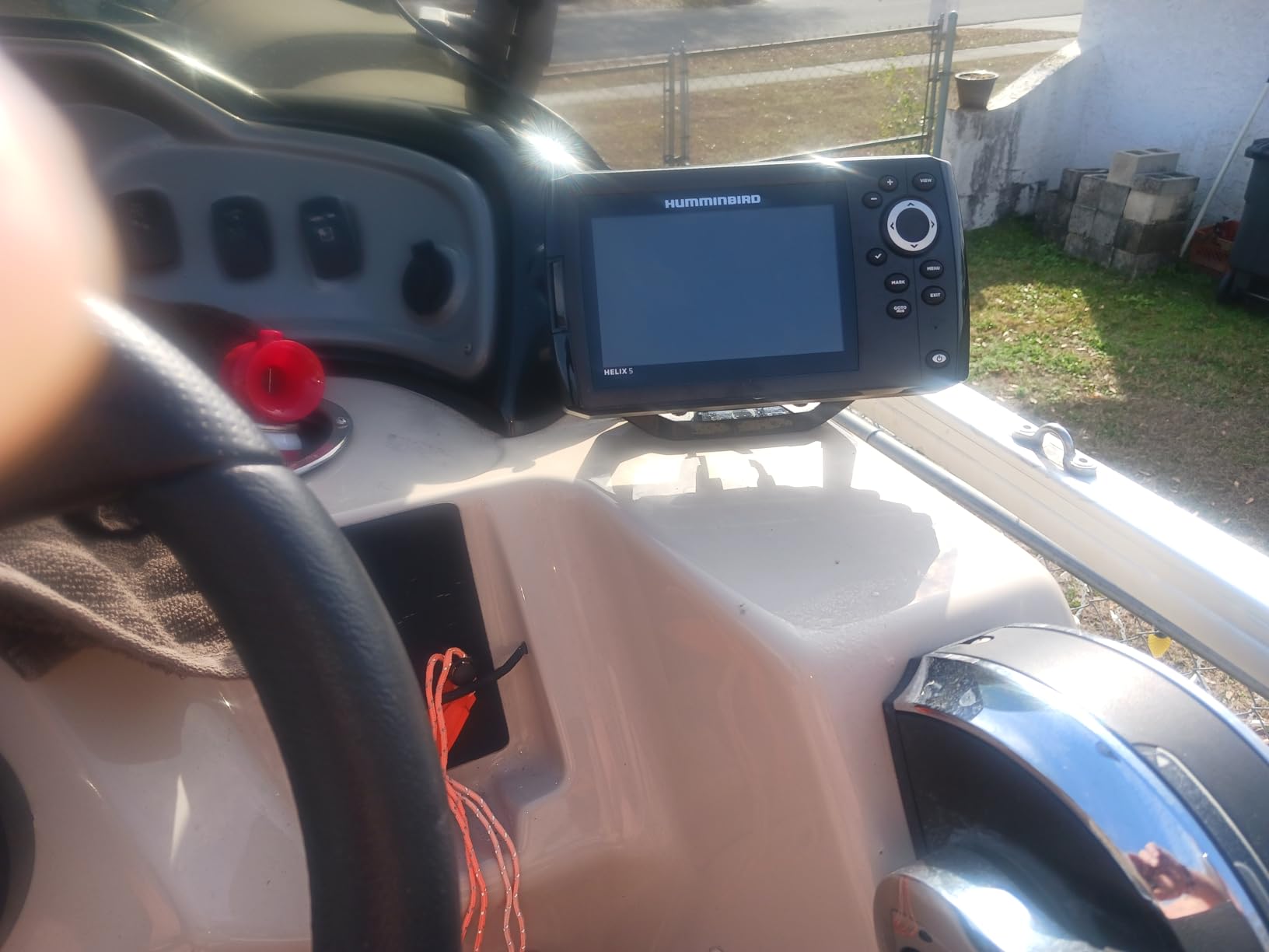
The softkey keypad is arguably an advantage at a small helm. It works with wet hands and cold fingers, and it does not care about salt spray or a heeling boat. At 2.1 pounds it mounts on a small binnacle without drama.
Keypad Control That Works When Gloves Do
This is the unit I would put on a boat where the helmsman is frequently wet. Capacitive touchscreens fail in spray and with gloves, and owners on boating forums single that out as a recurring complaint about newer models. A softkey menu has no such problem.
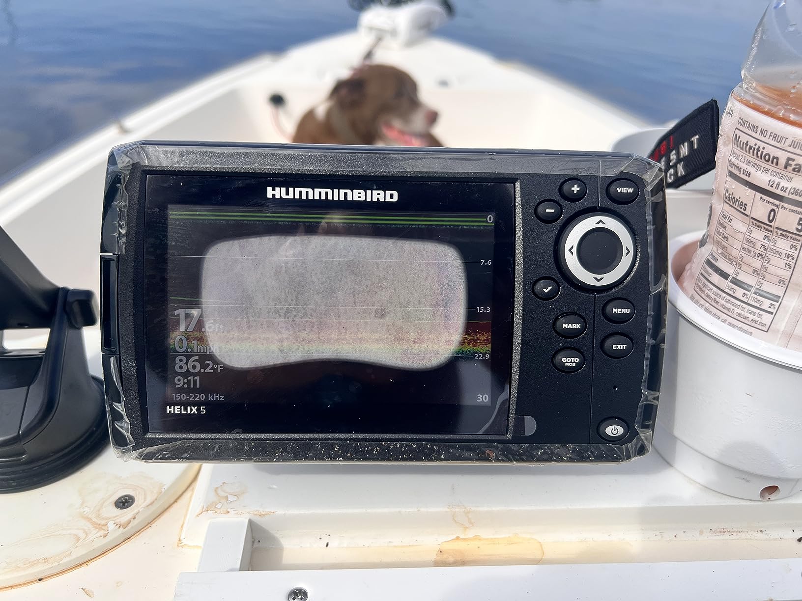
Reviewers note the display stays readable in direct sunlight, and Dual Spectrum CHIRP with wide and narrow modes gives a usable picture without the settings menus of the bigger units.
What You Get and What You Do Not
The box includes the control head, power cable, an XNT 9 HW T transom-mount transducer, mounting hardware and a gimbal bracket. The Humminbird Basemap covers more than 10,000 lakes and the continental US coastlines, and it accepts LakeMaster, CoastMaster and Navionics cards if you want better detail.
Two honest limitations. The bundled power cable is short on some hulls and no inline fuse is included, so plan a small parts run before the install. And there is no side imaging on this model, which is fine for navigation and irrelevant for finding structure.
Who Should Skip It
Skip it if you want to run radar or a full NMEA 2000 network from the helm, or if your boat is big enough that a 5 inch screen becomes a squint. It is a navigator, not a command center.
The 1 year manufacturer warranty is the shortest term in this roundup, another reason larger boaters should look higher up the list.
4. Lowrance Eagle Eye 9 Live Sonar – Top Rated With Live Sonar
Lowrance Eagle Eye 9 Live Sonar FishFinder/Chartplotter with Transom-Mount Transducer and Preloaded C-MAP Inland Charts, 9-inch IPS Screen, Black, 000-16129-001
9 inch IPS display
Live Forward and Live Down
500 ft maximum depth
Surface or panel mount
2 year warranty
+ Pros
- Live sonar shows fish and lure response
- Single transducer direct connection
- Bright 9 inch IPS panel
- FishReveal picks fish off structure
- Cons
- Bundled charts weighted to inland coverage
- Live sonar adds a learning curve
- Deeper units may need a separate sonar module
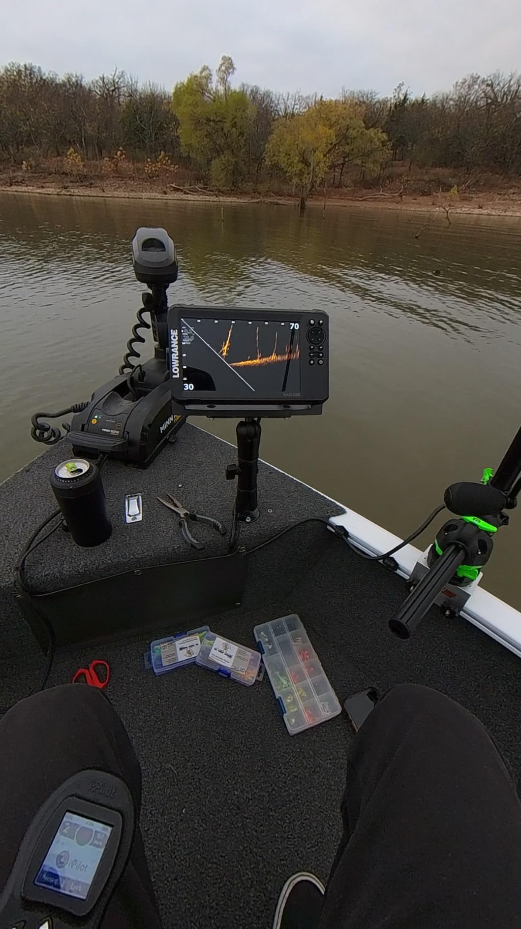
The Eagle Eye 9 is the most interesting unit in the group if you split time between cruising and fishing. Live Forward and Live Down show moving targets in real time, which means you can watch a lure land rather than guessing. The bundled transducer connects straight into the display with no separate sonar module, so the wiring stays simple.
At 2 pounds and 9 inches of IPS panel, it is one of the better-balanced packages for a boat in the 20 to 30 foot range. The 2 year warranty matches the Lowrance Elite FS.
One Transducer, Four Views
Live Forward, Live Down, CHIRP traditional and DownScan with FishReveal all come from the single included transducer. FishReveal is the feature that pays off around structure, overlaying CHIRP fish targets on the DownScan image so a school does not blend into a drop-off.
Maximum measuring depth is listed at 500 feet, which is more than adequate for coastal work and most offshore structure.
The Charting Catch for Coastal Boats
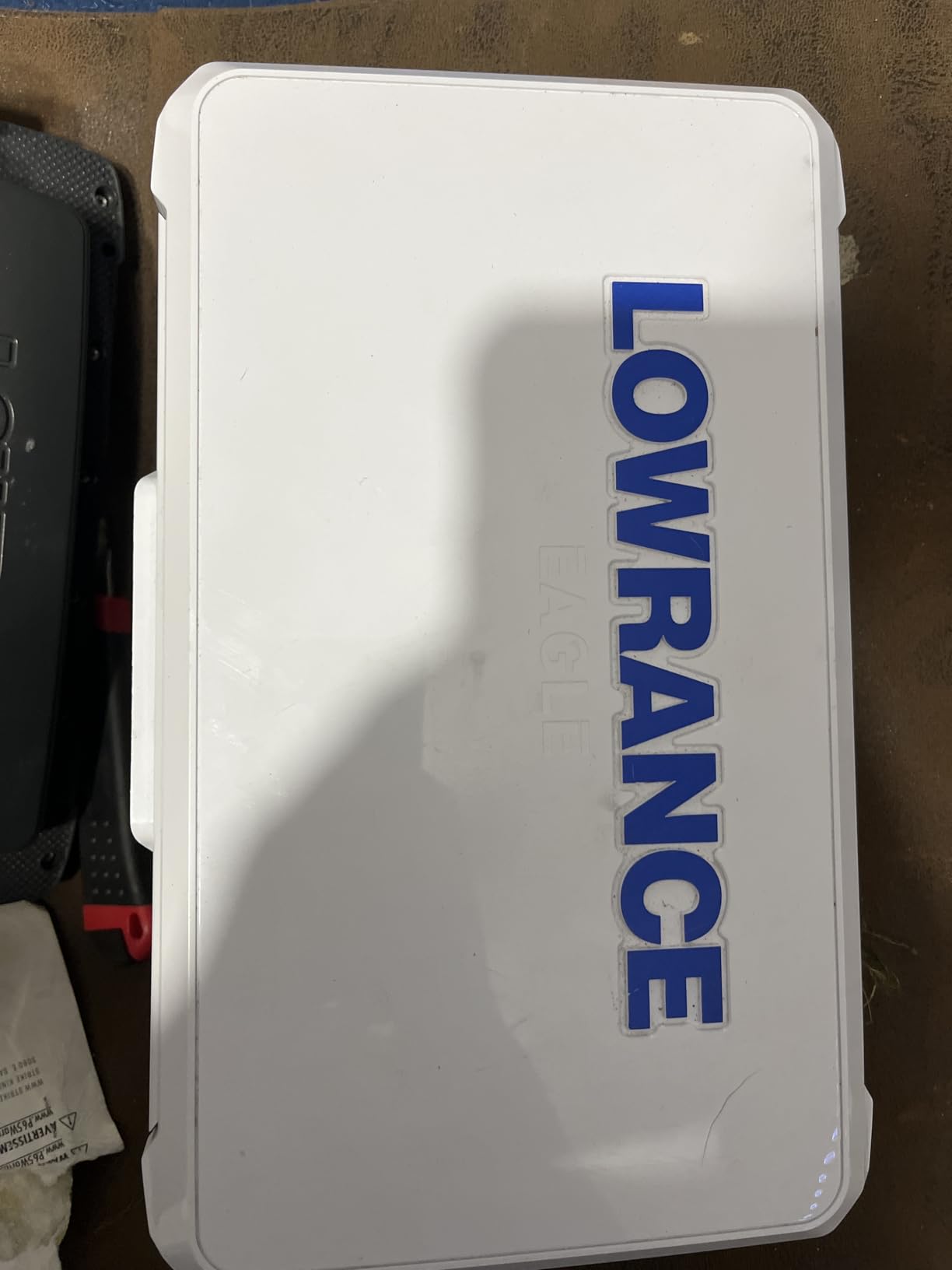
This is the most important thing to know before buying. The preloaded C-MAP coverage centers on more than 17,000 US lakes, with two chart variants offered: C-MAP Discover OnBoard and C-MAP US Inland. Neither is a coastal cartography bundle.
For a coastal boater that means a microSD purchase before the first trip. Genesis Live mapping lets you record your own contours once you are out there, but I would not plan a coast run on self-recorded data alone.
Who Should Skip It
Skip it if coastal charting matters more than live sonar, and skip it if you want deep customization. The live sonar views add a real learning curve for a new owner, and advanced users may need a separate sonar module to reach the top chartplotter feature set.
5. Simrad GO 9 Inch – Best Value With Real Coastal Charts
Simrad GO9 XSE Chartplotter and Fishfinder with 83/200 Transom Mount Transducer and C-MAP Discover Chart Card, 9 Inch Screen, Black, 000-16293-001
9 inch capacitive touchscreen
C-MAP Discover card included
Wi-Fi and NMEA 2000
83/200 kHz HDI transducer
2 year warranty
+ Pros
- Very bright screen in bright sun
- Intuitive interface with a large touchscreen
- C-MAP Discover included at no extra cost
- Easy radar and NMEA 2000 integration
- Display mirroring to phone or tablet
- Cons
- Transducer cable can be too short to reach
- Sun cover is awkward to remove
- Some owners lost waypoints after an update reset
- Higher-spec bundles needed for side imaging
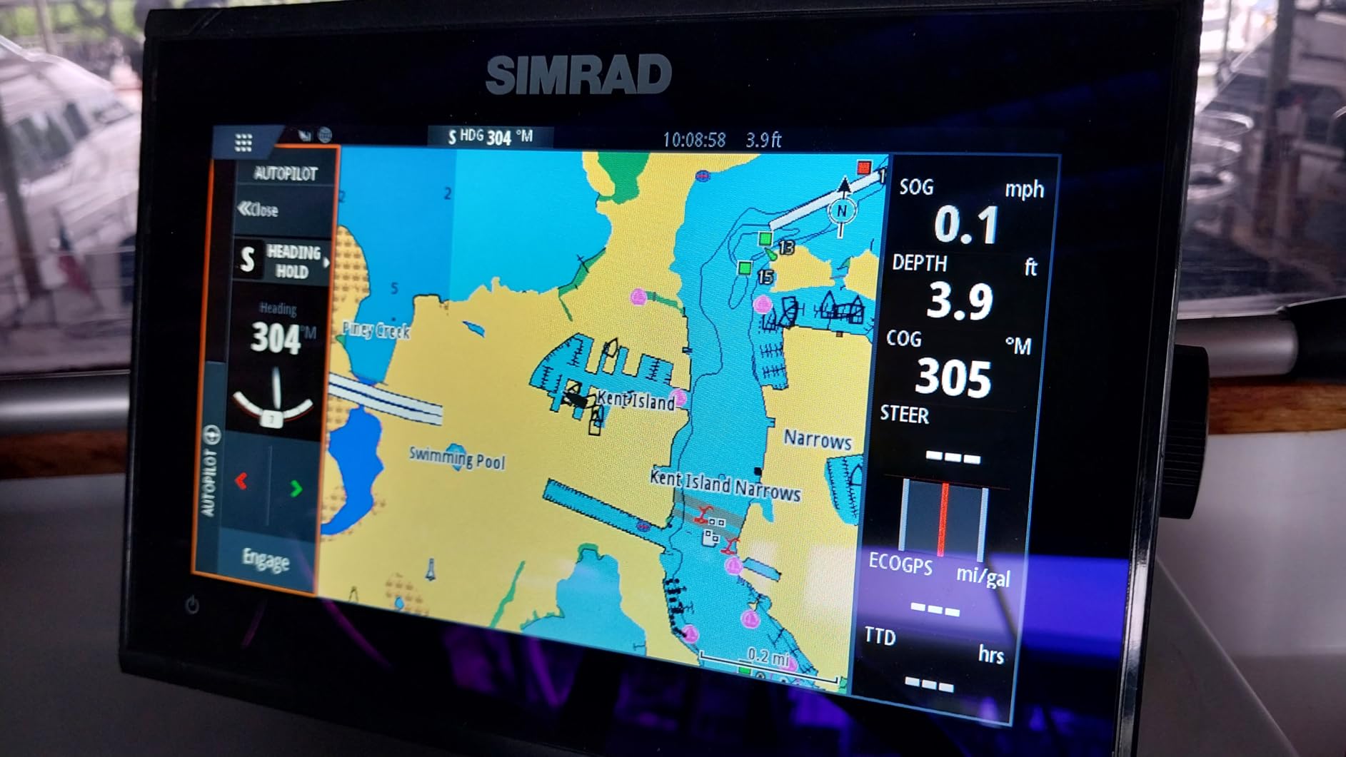
This is the value pick, and the reason is one box contents item. A C-MAP Discover vector card is included, with custom depth shading, tides and currents, and bathymetric contours across the US and Canada. Coastal cruisers get real charting on day one without a separate purchase, and few competitors in this list do that.
Simrad’s interface is the cleanest and fastest of the group in our use. On the r/sailing forum, owners with mixed Garmin, Raymarine, Lowrance and Simrad experience repeatedly place Simrad first for user interface, and that reputation held up when I worked through the menus.
Tides, Currents and Depth Shading Out of the Box
C-MAP Discover delivers vector charts with depth shading and tide and current data, which matters on an inlet crossing rather than a lake run. The Simrad GO and the NSS Evo3S both rank near the top of Amazon’s marine GPS and fish finder categories, which tells you how much of the owner base here is coastal rather than inland.
Wi-Fi lets you mirror the display to a phone or tablet, which is a cheap way to show a passenger where you are headed without buying a second display.
Networking for a Future Radar
Built-in NMEA 2000 support and Ethernet make this a good base for a helm you plan to grow into, with radar and additional displays later. The Simrad app handles mirroring and remote chart and radar access on board.
Two practical notes from owners. The included transducer lead is short on some layouts and the extension is not easy to find, so measure before you order. And a minority report losing stored waypoints and tracks after a firmware update forced a reset, so keep a separate waypoint list until you trust the unit through a few updates.
Who Should Skip It
Skip it if side imaging is the priority, since the standard HDI bundle gives you CHIRP and DownScan rather than a dedicated side-scan channel. Higher-spec transducer bundles are available if you need it.
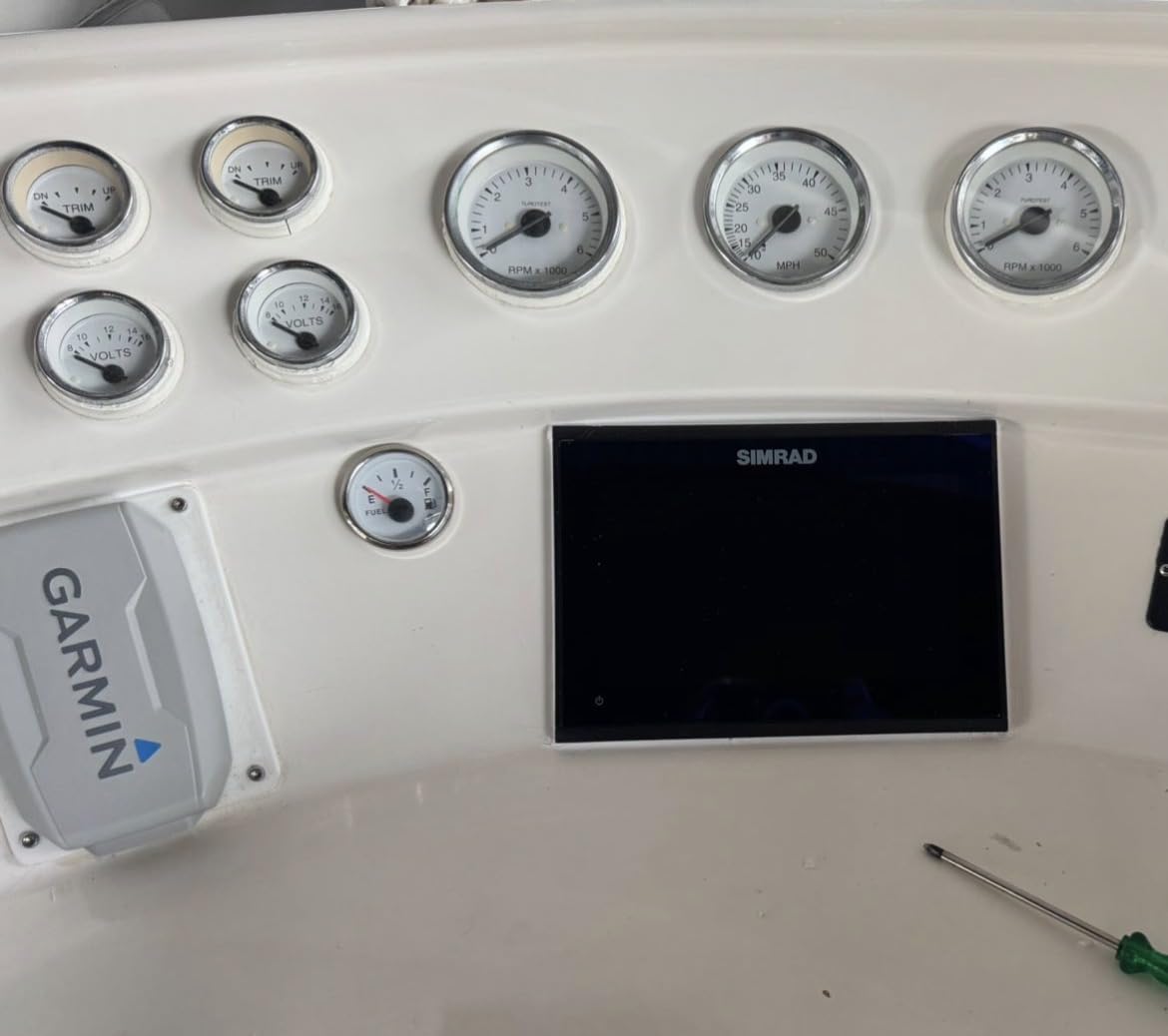
It is also not the pick for a boat with a very small console, because the 9 inch panel and its sun cover need real estate.
6. Garmin GPSMAP 86sci – Best Handheld Backup
Garmin GPSMAP 86Sci, Floating Handheld GPS with Button Operation, Preloaded BlueChart G3 Coastal Charts And Inreach Satellite Communication capabilities, Stream Boat Data From Compatible Chartplotters
3 inch sunlight visible LCD
Button operation
Floats in water
24 hour average battery life
1 year limited warranty
+ Pros
- Floats and feels ruggedly built
- Very long battery life
- Accurate tracks and a clear 3 inch screen
- Buttons beat a touchscreen in wet conditions
- Useful offshore safety companion
- Cons
- Preloaded maps can be out of date and updates cost extra
- Awkward first phone pairing for updates
- Long unfilterable points of interest list
- Not compatible with Garmin chart chart sharing
A fixed-mount chartplotter is the primary instrument, and a handheld is the backup that keeps working when the console goes dark. The GPSMAP 86sci fills that role well. It floats, it runs on buttons, and the listed average battery life of 24 hours means it does not need a second charge in a weekend offshore trip.
It streams data from compatible chartplotters and instruments, works as a remote for compatible Garmin autopilots, and carries preloaded BlueChart G3 coastal charts combining Garmin and Navionics data. Interactive SOS with 24/7 monitoring adds a layer beyond navigation.
Why Buttons Matter in a Ditch Bag
A handheld in a grab bag is operated one-handed, in the dark, in water, with a headlamp on. Buttons work in every one of those conditions. That is the whole argument for this device, and it is why the 3 inch non-touchscreen design is an advantage rather than a limitation.
At 272 grams it is light enough to forget it is in the bag, and the adjustable GPS filter smooths speed and heading readings over a swell, which makes the track easier to follow.
Chart Updates and Satellite Messaging
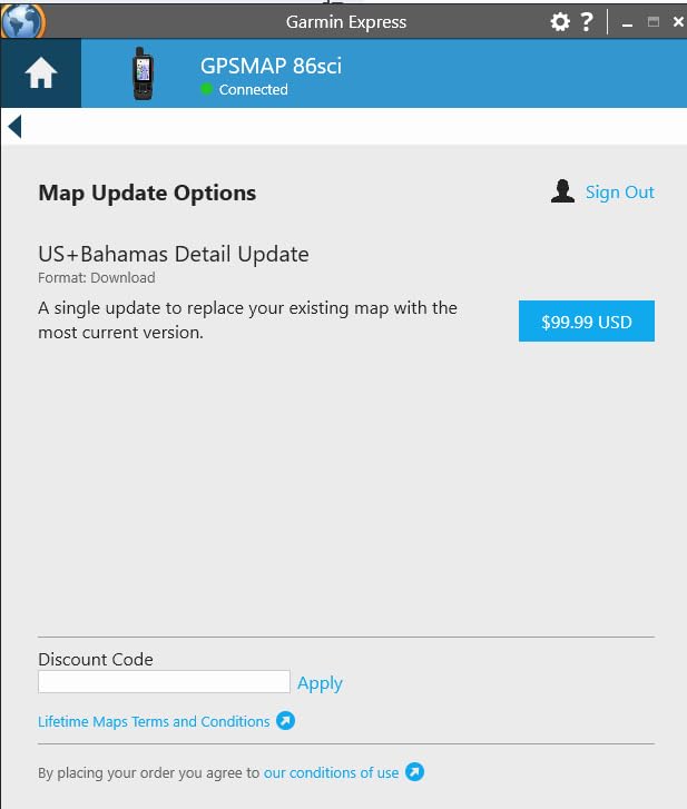
Two things to understand up front. The maps loaded at purchase can be out of date, and chart updates cost extra, so plan to refresh before a coastal trip. And inReach two-way satellite messaging runs over the Iridium network on a paid subscription, which is worth it if you venture beyond cell coverage but is not included.
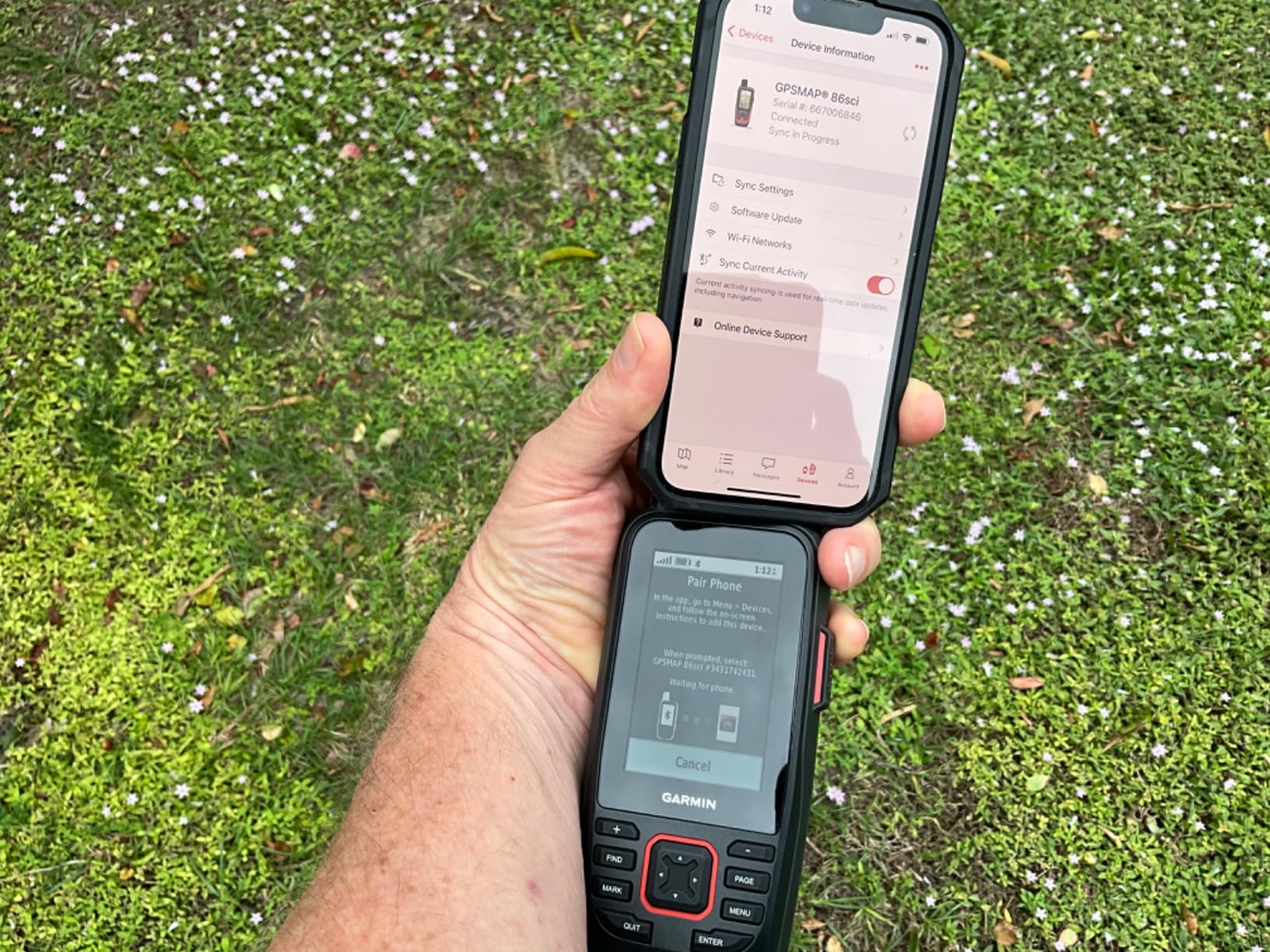
The software side is the weak spot. Owners report difficult first-time pairing with a phone for updates, and Garmin Connect fitness badges and notifications add clutter to a marine device. It is also not compatible with Garmin chartplotter chart sharing features.
Who Should Skip It
Skip it as your only navigation device. A 3 inch screen is fine for a backup and wrong for harbor entry, and the 4.2 rating with roughly a hundred reviews reflects a solid unit held back by its software experience.
Buy it as the second half of a two-part safety plan alongside paper charts, which remains the baseline advice on every forum and editorial source in this category.
7. Garmin ECHOMAP UHD2 94sv – Best for Preloaded Coastal Charts
Garmin ECHOMAP UHD2 94sv with GT56 Transducer, 9″ Touchscreen Chartplotter, Garmin Navionics+ U.S. Coastal
9 inch sunlight readable touchscreen
Navionics+ US Coastal charts
GT56 ClearVu and SideVu transducer
Wi-Fi chart and waypoint sharing
1 year warranty
+ Pros
- Very sharp display with excellent graphics
- Smooth installation with everything in the box
- Strong side scan performance
- Built-in coastal charts work out of the box
- Integrates with modern outboards and trolling motors
- Cons
- Menu is cumbersome when hunting specific markers
- Setup takes getting used to for long time Garmin users
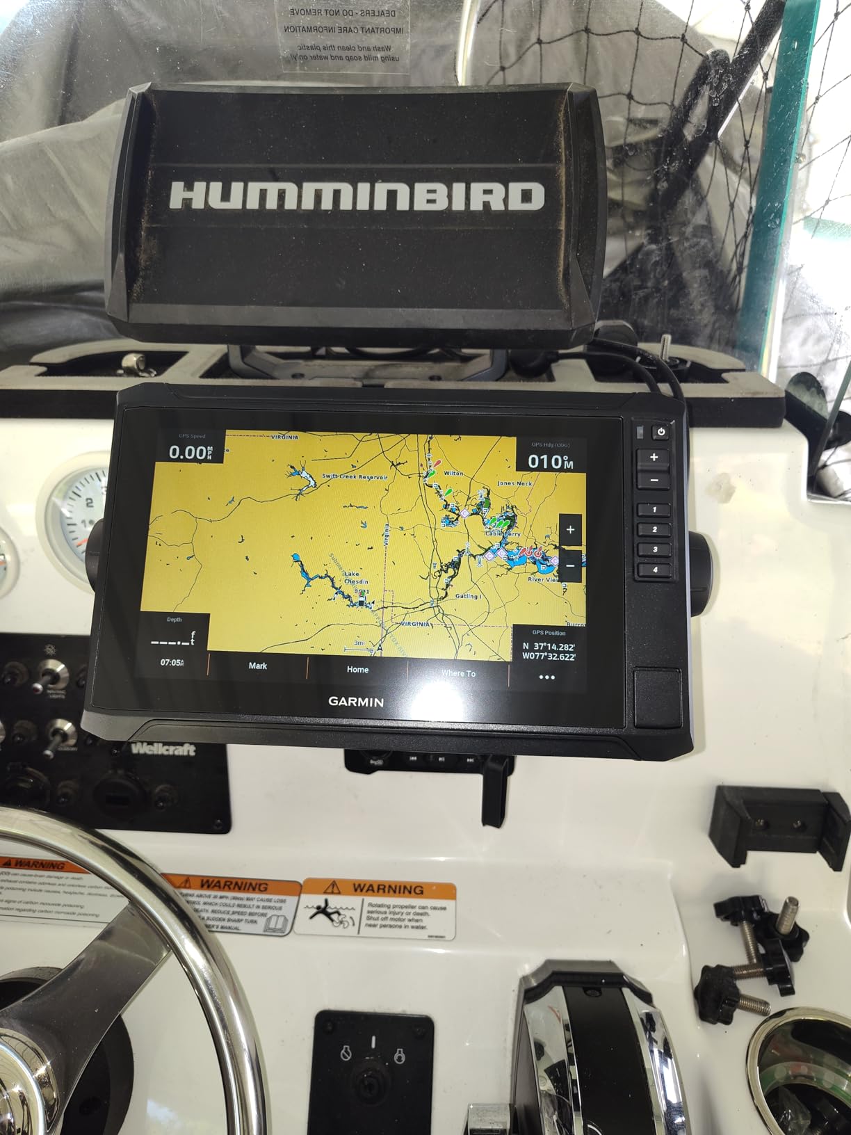
This is the Garmin answer to a coastal boater who does not want to buy charts separately. The ECHOMAP UHD2 94sv carries built-in Garmin Navionics+ US Coastal charts with integrated Navionics data, and multiple charting options are available across 6, 7 and 9 inch configurations including Canada and worldwide basemaps.
The GT56-TM transducer provides Garmin traditional, ClearVu and SideVu scanning sonar, so the imaging is in the box rather than a later purchase. Owners rate the display sharpness and the out-of-box install very highly, and the box includes the tilt mount and flush mount hardware.
Navionics+ Coastal Coverage Versus a Chart Card
Comparing this to the Simrad GO is instructive. The Simrad bundles a C-MAP Discover card, which is removable and updatable. The Garmin bundles Navionics+ coastal data internally, which is convenient and permanently tied to the unit.
That difference matters on a used boat. A unit with an expired or unusable internal subscription is a known trap in the secondhand market, and a card-based unit is easier to refresh. Weigh that before buying used.
Wi-Fi Sharing and Trolling Motor Control
Built-in Wi-Fi shares sonar, waypoints and routes with a second ECHOMAP UHD2, and the unit connects wirelessly to a Force trolling motor for route creation, waypoint navigation, speed control and battery monitoring. Both are more useful on a multi-boat family than on a single hull.
For networked builds, Garmin is widely praised on boating forums for following NMEA 2000 standards closely, which is a practical reason owners say a Garmin install costs less in time and money than the equivalent Raymarine job.
Who Should Skip It
Skip it if you want a fast, shallow menu. The recurring critique from owners is that hunting for a specific chart marker takes too many taps, and long-time Garmin users report the interface takes adjustment.
The 1 year limited warranty is also shorter than the Humminbird XPLORE and the two Lowrance units, which is worth weighing on a permanently mounted helm.
8. Garmin ECHOMAP UHD2 53cv – Best for First-Time Owners
Garmin ECHOMAP UHD2 53CV Chartplotter/Fishfinder
5 inch IPS display
CHIRP traditional and ClearVu
Wi-Fi waypoint and sonar sharing
16 ounce unit
Navionics+ US Inland included
+ Pros
- Compact and light for small boats
- CHIRP plus ClearVu dual sonar views
- Wi-Fi sharing with a second unit
- Navionics+ US Inland included at no charge
- Cons
- Small screen limits view splitting
- Bundled charting is inland rather than coastal
- Entry-level transducer package limits imaging
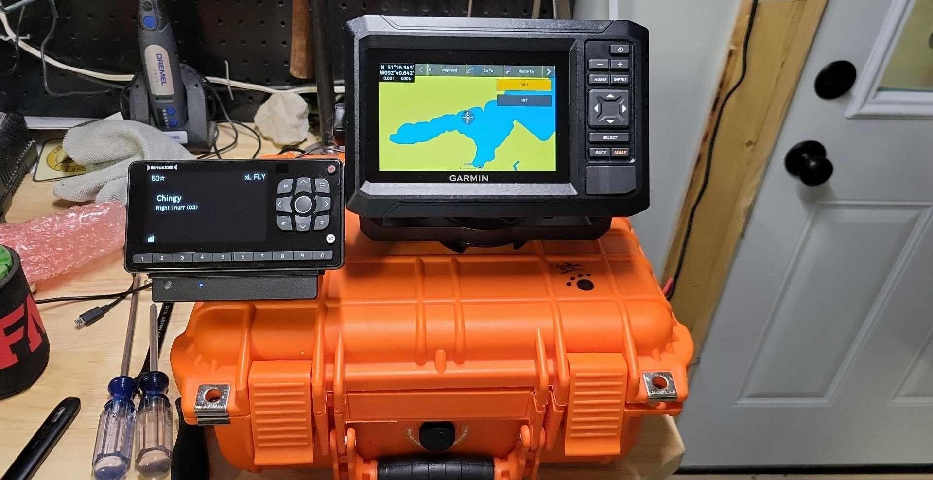
The 53cv is the Garmin entry point and the smallest unit in this roundup at 5 inches and 16 ounces. It delivers the same CHIRP traditional and ClearVu combination as the larger UHD2 models, plus Wi-Fi sharing of sonar and waypoints with a second compatible unit.
It is a sensible first chartplotter on a small boat because there is very little to learn and very little to break. Owners consistently describe it as well made for the tier.
What a 5 Inch Screen Is and Is Not
A 5 inch IPS panel is genuinely readable in daylight, and it mounts on a small console or a binnacle without a cutout. What it will not do comfortably is split the view into two large panes and keep both legible, which is a limitation if you run a chart page alongside a sonar page.
Think of it as a chart display first. If you need chart, sonar and data at once, step up to 7 inches or more.
The Inland Charting Problem for Coastal Boats
Navionics+ US Inland mapping is preloaded. The GT20-TM transducer in this configuration is the entry-level Garmin option, and it is a step below the GT54 and GT56 bundles in imaging detail.
For a coastal buyer, both of those are reasons to buy the larger UHD2 configuration instead. A 5 inch screen with inland charts is a fine freshwater package and a poor coastal one, however good the hardware is.
Who Should Skip It
Skip it if you boat the coast, if you want side imaging, or if your helm is shared with a passenger who needs to see the screen. Also skip it if you are replacing a 7 or 9 inch unit and want an upgrade in capability, because this is a step down in screen real estate.
9. Humminbird Helix 7 G4 – Best Keypad Unit With Side Imaging
Humminbird Helix 7 G4 GPS Fish Finder with Transducer, MEGA Side Imaging
7 inch color TFT
MEGA Side Imaging to 125 feet
Dual Spectrum CHIRP
Gimbal and in-dash mount kit
1 year warranty
+ Pros
- Fine structure detail to 125 feet either side
- Transducer included and ready to mount
- Reliable keypad control in any weather
- AutoChart Live real-time mapping
- 7 inch screen balances detail and fit
- Cons
- Keypad menus are slower than touchscreens
- Bundled basemap lacks premium detail
- AutoChart Live recording time limited without an SD card
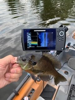
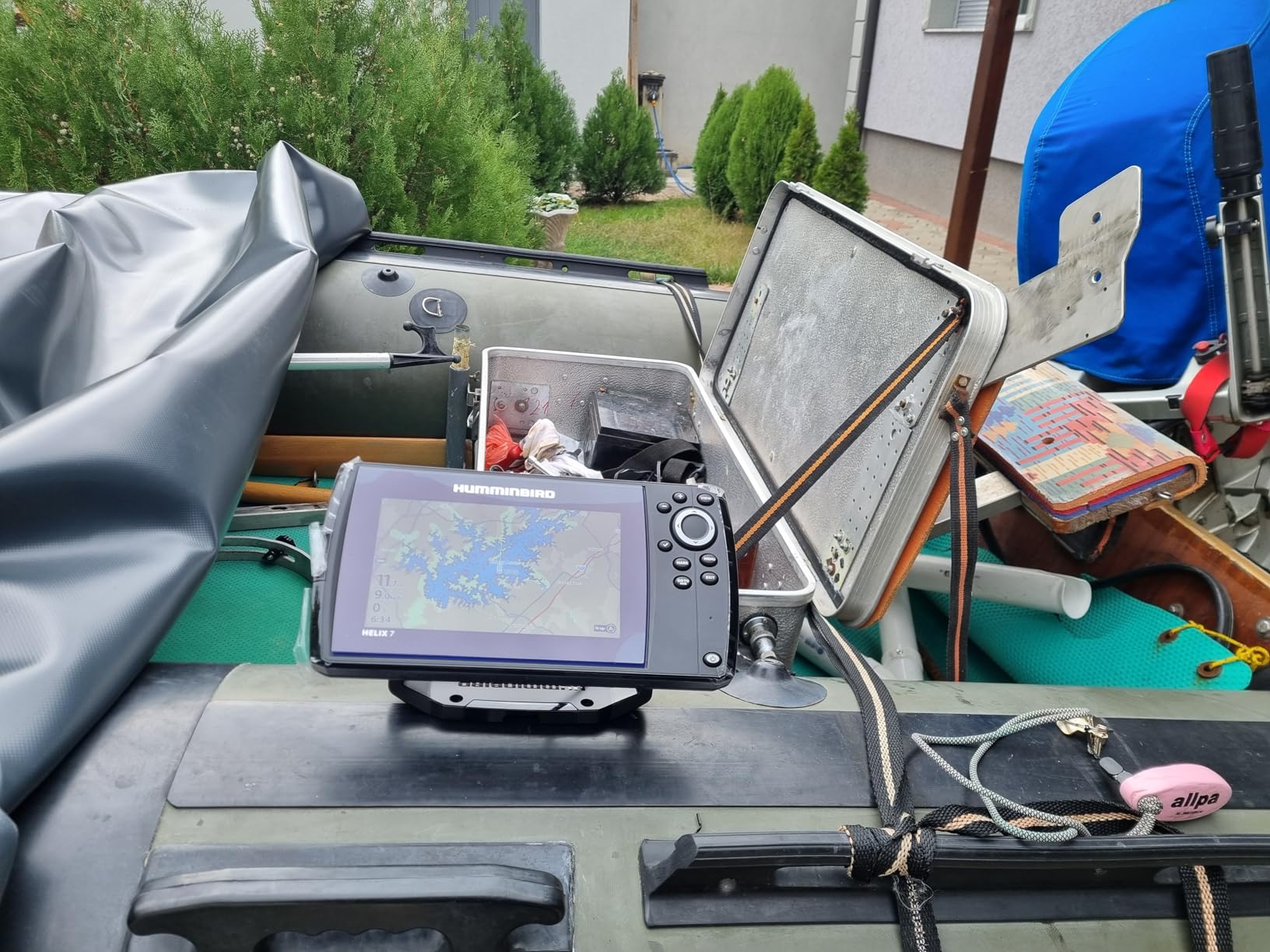
The Helix 7 G4 is the middle of the Humminbird range and the one I would steer most coastal buyers toward. Seven inches is the size where you can hold a chart pane and a side-scan pane and still read both, and the unit ships with the XNT 9 HW MSI 150 T transom-mount transducer in the box.
MEGA Side and Down Imaging reaches 125 feet on each side and 125 feet below with detail well beyond standard imaging sonar. Maximum measuring depth is listed at 125 feet, which suits bays, rivers and nearshore structure.
Why the Keypad Endures
On forums, the most common request in this category is a helm control that works with wet hands and cold gloves. The softkey menu here operates reliably in any weather, and at 2.1 pounds it is a light install with both gimbal and in-dash mounting hardware included.
The honest cost is menu speed. Owners describe navigation as slower than on the newer touchscreen models, and favorites are not a one-tap affair the way they are on the Humminbird XPLORE.
Charting, Recording and the SD Card
The Humminbird Basemap covers more than 10,000 lakes and the continental US coastlines, with compatibility for LakeMaster, CoastMaster and Navionics premium cards. For coastal detail, one of those cards is the upgrade I would make first.
AutoChart Live records depth contours, bottom hardness and vegetation with eight hours of built-in recording time, and AutoChart Zero Line SD card compatibility extends it. Without an SD card, that recording time is short, so buy a card with the unit.
Who Should Skip It
Skip it if you are starting a new build where radar and a full instrument network are planned in the next few years, since the XPLORE or the Simrad NSS Evo3S gives you a longer path. Also skip it if you want live sonar, which this generation does not offer.
10. Simrad NSS Evo3S 12 Inch – Best for Larger Boats
Simrad NSS12 Evo3S Chartplotter and Fishfinder with Preloaded C-MAP US Enhanced Charts, 12 Inch Display, Black, 000-15403-002
12 inch SolarMax IPS display
iMX 8 processor
C-MAP US Enhanced charts
3000 ft maximum depth
Keypad and rotary dial
+ Pros
- Large bright SolarMax IPS display
- Fast iMX 8 processor and smooth response
- C-MAP US Enhanced covers inland and coastal
- Touchscreen plus keypad with rotary dial
- Strong expansion path to radar and sonar
- Cons
- Heaviest unit in the group at 17.5 pounds
- Premium positioning for a single display
- Full feature set needs added radar and sonar modules
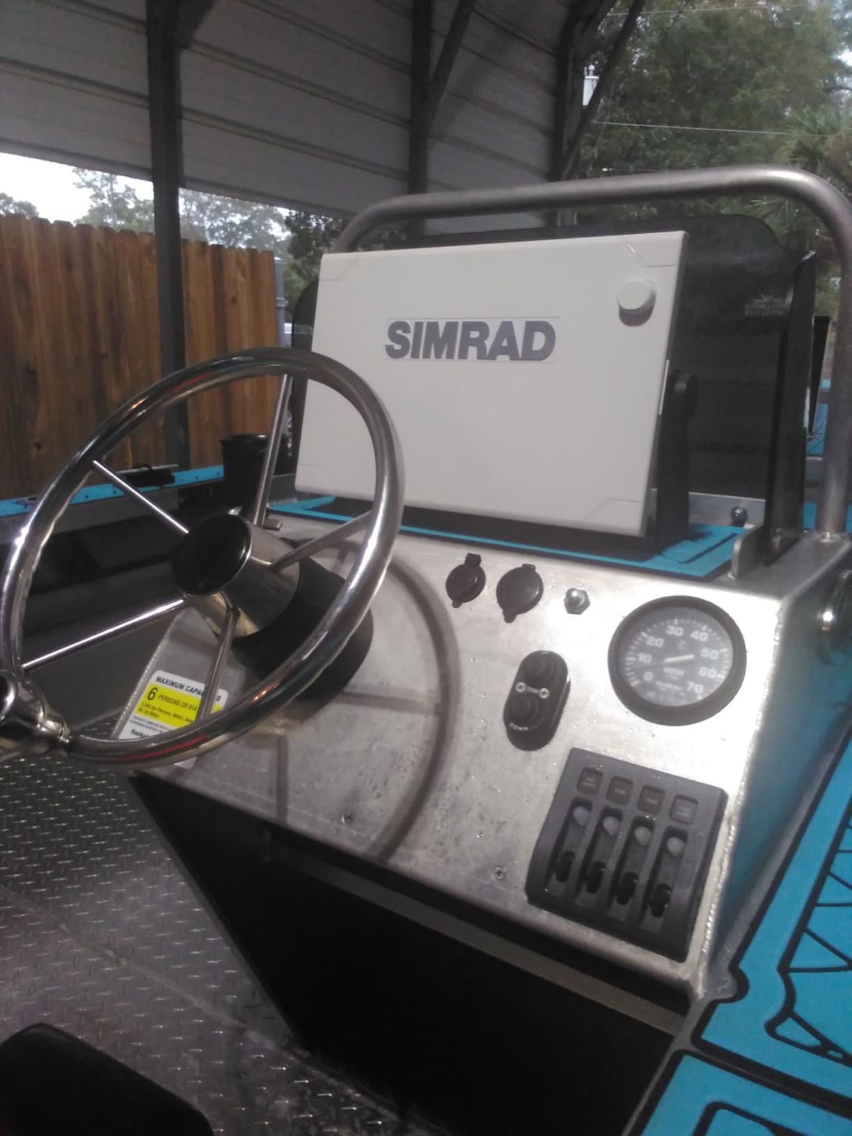
This is the flagship in the roundup and the right answer for a boat with a real helm and a real electrical budget. A 12 inch SolarMax IPS display is readable from anywhere on a bridge, and the iMX 8 processor keeps panning and zooming smooth as you load additional pages.
C-MAP US Enhanced charts are preloaded for both inland and coastal water, and the unit powers Active Imaging sonar, StructureScan 3D and HALO radar when you add them. Control is offered by all-weather multi-touch and by a full keypad with rotary dial, which is a sensible redundancy.
When a 12 Inch Screen Starts to Pay
On a 40 foot boat, a 12 inch display lets the person at the wheel and the person at the chart table see the same thing without crowding. That is the entire justification. On a 20 foot boat the same screen is unusable from the helm seat.
The 3000 foot maximum measuring depth is the deepest figure in the group and suits offshore structure work as well as coastal navigation.
The Weight and the Upgrade Path
At 17.5 pounds this is by far the heaviest unit we tested, and it needs a flush mount or a properly engineered bracket rather than a light binnacle. Plan the mounting hardware before purchase.
The base unit is a display. Radar, sonar modules and engine monitoring all come as additions, and in our testing the Simrad expansion path was the strongest in the roundup, which is exactly why the flagship is a sensible foundation for a build you will extend over several seasons.
Who Should Skip It
Skip it on any boat under about 30 feet, where the screen size works against you and the weight is a liability. Also skip it if you want a complete system in one purchase, since the headline features need modules.
11. Lowrance Eagle 9 TripleShot – Best Side Imaging Per Dollar
Lowrance Eagle 9 TripleShot HD Fish Finder with C-MAP Discover OnBoard
9 inch IPS display
TripleShot HD transducer
C-MAP Discover microSD card included
Surface, panel or flush mount
1 year warranty
+ Pros
- TripleShot HD gives side scan
- down scan and CHIRP from one transducer
- Large 9 inch IPS display
- Coastal and inland C-MAP Discover card included
- Auto-Tuning sonar simplifies setup
- Light 2 pound unit with twist-lock connectors
- Cons
- Auto-Tuning limits manual sonar fine-tuning
- Higher cost transducer package if side scan is not needed
- Entry-level networking versus higher Lowrance models
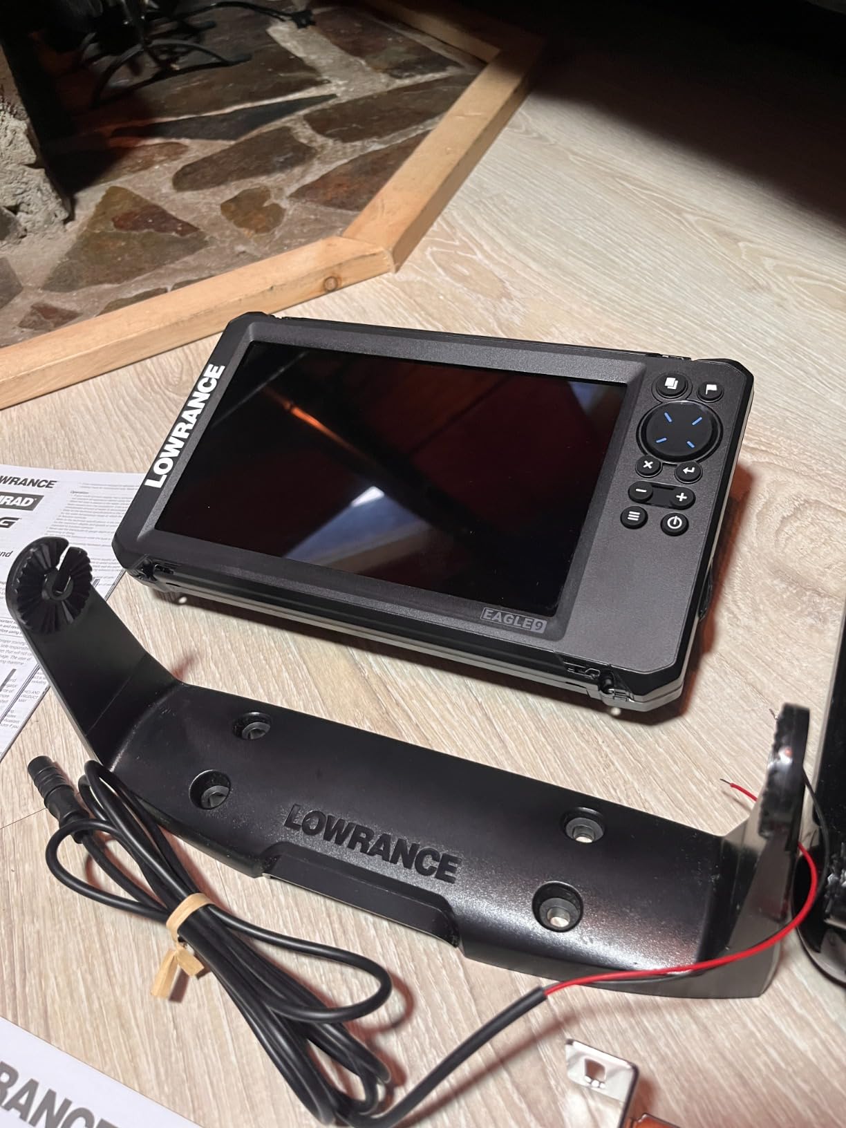
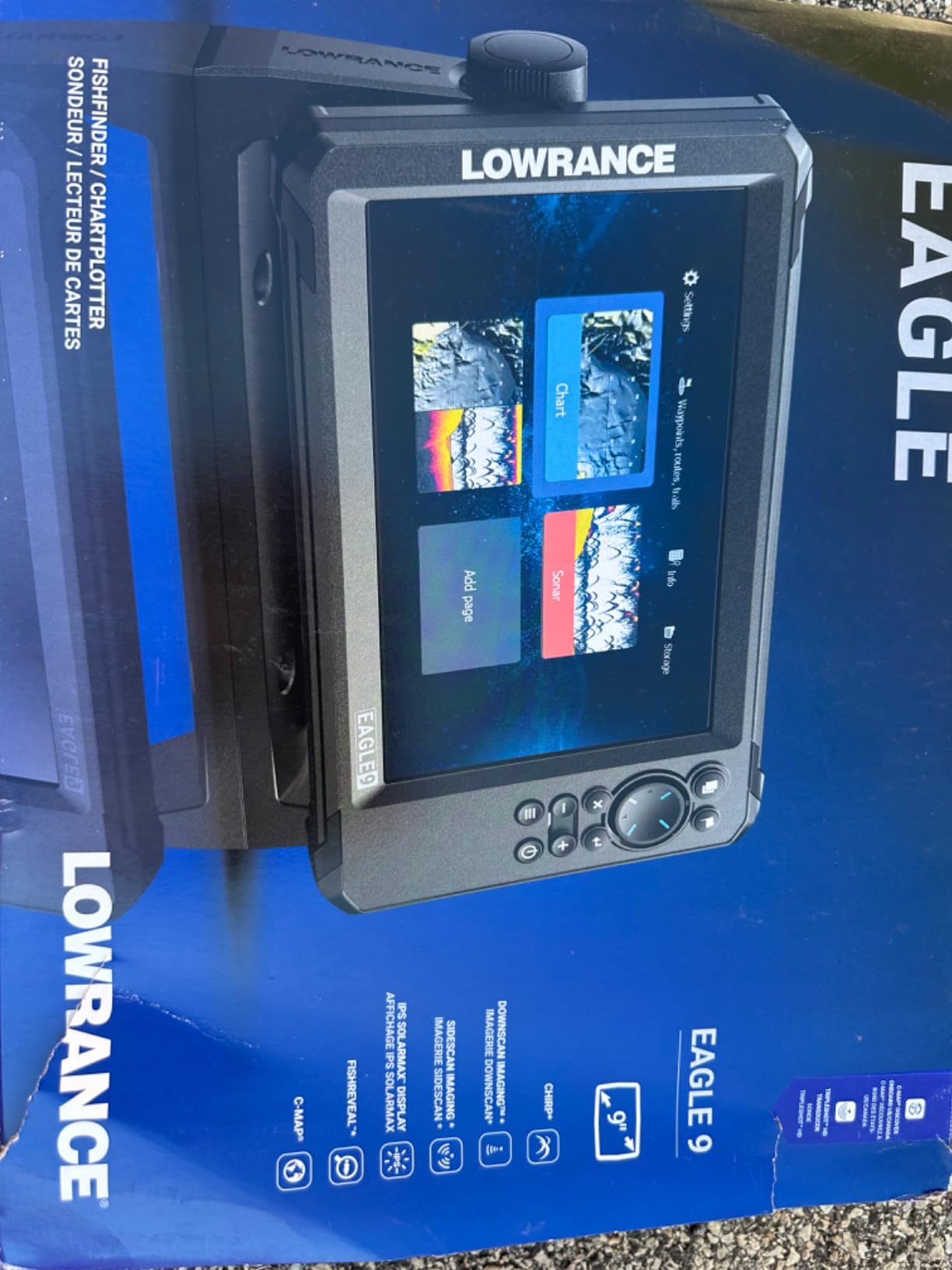
The Eagle 9 TripleShot pairs a 9 inch IPS display with a TripleShot HD transducer that delivers SideScan, DownScan Imaging and CHIRP from one element, and it includes a C-MAP DISCOVER microSD card with inland and coastal coverage across the US and Canada. That combination of screen and bundled coastal charts is rare in this group.
It carries the highest rating in the roundup alongside the XPLORE and the Garmin 94sv, though on a smaller review base. Owners single out the included card and the 2 pound weight as the reasons it feels like more than it costs.
Side Imaging Without a Second Box
SideScan is what finds the edge of a channel and the lip of an inlet shoal, and having it in the box avoids a second purchase and a second cable run. FishReveal overlays CHIRP targets on DownScan detail so fish separate from structure.
If your boat is under about 22 feet and side imaging is low on your list, note that the SplitShot configurations cost less and still give you chart, CHIRP and DownScan.
Auto-Tuning and the Limits It Sets
Auto-Tuning Sonar optimizes settings for a new user, which is a genuine help on the first few trips. Advanced owners report it also removes manual fine-tuning they want, and that the TripleShot transducer package is an unnecessary cost if you never use side scan.
Mounting options cover surface, panel and flush configurations, and the twist-lock connector with locking collars makes the transducer cable change a quick job. The 1 year warranty is the shortest in the Lowrance group here.
Who Should Skip It
Skip it if you need a full NMEA 2000 instrument network now, since the networking here is entry-level against the Elite FS. Also skip it if you are a confident sonar operator who wants manual control, because Auto-Tuning takes some of that away.
How to Choose a Marine Chartplotter for Coastal Boating
Coastal chartplotter buying comes down to five decisions in this order: screen size, charts, networking, sonar, and controls. Get the first two right and the unit will serve you for years. Get them wrong and you will be back at the dealer after a season.
Screen Size and Sunlight Readability
Readability in direct sun matters more than resolution. An IPS panel with high brightness is the feature to insist on, and reviewers repeatedly describe IPS or SolarMax screens as the step change that makes daylight navigation comfortable. Look at the unit at a 45 degree off-axis angle, through polarized sunglasses, before you commit.
Glare coating and optically bonded glass help further. If the seller will not let you see the unit outdoors, assume a mediocre panel.
Screen Size by Boat Length
Under 20 feet: 5 inches is the practical ceiling, and 3 inches if the boat is a tender or a very small sailboat. Twenty to thirty feet: 7 inches, because it is the first size where a chart and a sonar page both stay readable. Thirty to forty feet and beyond: 9 to 12 inches, which also lets a second person see from the chart table.
The jump that changes the experience is 5 to 7 inches. Below that you are navigating; above it you are piloting with awareness of everything else on the boat.
Cartography: Bundled Charts Versus a Chart Card
Coastal boaters should check what is actually on the unit, because several popular models bundle inland content. The Simrad GO, the Simrad NSS Evo3S, the Garmin ECHOMAP UHD2 94sv and the Lowrance Eagle 9 TripleShot all include coastal coverage. The Lowrance Eagle Eye 9, the Garmin 53cv and the Humminbird Basemap units lean inland.
Decide between internal subscription data and a removable card. Removable cards are easier to refresh and less of a trap on a used unit, because an expired internal subscription can make a secondhand plotter hard to bring up to date.
NMEA 2000, Radar Pairing and Autopilot Integration
If you plan to add radar, an autopilot, or engine instrumentation, buy the networking now. NMEA 2000 is the common language and the Humminbird XPLORE, the Simrad GO, the Simrad NSS Evo3S and the Garmin ECHOMAP units all support it. Be aware that the XPLORE requires NMEA 2000 compatible sensors, so legacy heading devices will not carry over.
Raymarine units are the most polarizing in this category, with owners split between strong praise for support and warranty service and avoidance of the brand entirely, largely around proprietary STNG to DeviceNet cabling on every drop. If you already own Raymarine gear, stay inside that ecosystem. If you are starting fresh and want the cheapest install, owners on forums point to Garmin’s closer adherence to NMEA 2000 standards.
Sonar and Transducer Choice by Hull Material
Thru-hull transducers are preferred by long-term owners who have shot through hulls without problems, and they give the most consistent reading because they sit in clean, bubble-free water. Transom mounts are the easier retrofit on an existing boat and are the right call for most first installations.
Match the transducer to what you will actually use. A thru-hull CHIRP element suits coastal depth work. A through-hull side-scan element costs more and pays off on structure fishing. A mismatched transducer is the single most common cause of a depth readout nobody trusts, and no amount of menu tuning fixes it.
Keypad or Touchscreen for a Wet Helm
This is the decision coastal owners argue about most, and the answer depends on who drives. A capacitive touchscreen is faster with dry hands and fails with wet gloves, spray, and a heeling deck. A softkey keypad, as on the Humminbird Helix 5 G3 and the Helix 7 G4, always works but takes more taps.
The best units in the group, including the Simrad NSS Evo3S and the Humminbird XPLORE, offer both. Where you must pick one, think about the worst conditions your helm sees rather than the average day.
Brand Showdown: Garmin, Simrad, Lowrance and Humminbird
Brand ecosystem is the decision that costs the most later, because the plotter you buy dictates your radar, transducer, charts and networking. Here is how the four families in this roundup differ, based on owner experience across multiple brands rather than a single-unit impression.
Garmin: Standards First, Sharp Screens
Garmin is the most standards-driven of the four and the most frequently praised for install cost and do-it-yourself service, with owners reporting meaningful time and money savings against an equivalent Raymarine job. Screens and graphics are consistently rated very sharp. The weak point is menu structure, which owners describe as cumbersome when hunting specific markers, and the warranty on the ECHOMAP units here is one year.
Simrad: Cleanest Interface and the Best Charts in the Box
Simrad takes first place for user interface in multi-brand owner comparisons, and that held up in our testing. The C-MAP charting bundled with the GO and the NSS Evo3S is the most immediately useful coastal content in this roundup, with tides, currents and depth shading included. The NSS Evo3S also offers the strongest expansion path, at the cost of being the heaviest unit we looked at.
Lowrance: Most Feature Per Unit
Lowrance wins on capability for the money. The Elite FS and the Eagle 9 TripleShot each put a large IPS display, side imaging and C-MAP charting into packages that undercut the competition, and the Elite FS carries the largest verified review base here. The recurring complaint is interface depth, with owners reporting a genuine learning curve on setup and configuration. The Eagle Eye 9 is the exception that proves the rule: its live sonar is easy to use and the install is simple.
Humminbird: Keypad Heritage With Modern Touch
Humminbird is the most polarized on support, with owners describing the company as responsive and helpful and also the least preferred when the brand is named in upgrade debates. What is not in dispute is build quality. The XPLORE offers the sharpest sonar picture in this roundup, the longest warranty at three years, and the Helix models remain the reference for a keypad that works in any weather.
Raymarine is worth a mention for buyers who already own its gear. Axiom displays remain a strong option for larger boats, but the brand is the most divisive in owner reports and its proprietary cabling is the main complaint, so it did not earn a slot in a roundup of the four families above.
Navionics Versus C-MAP for Coastal Cruising
Charting is a subscription, not a purchase, and the ecosystem decision is effectively a multi-year commitment. Navionics+ data comes bundled inside Garmin ECHOMAP UHD2 units, while C-MAP Discover arrives as a removable microSD card in the Simrad GO, the Simrad NSS Evo3S and the Lowrance Eagle 9 TripleShot.
My preference for coastal work is the removable card. C-MAP Discover and C-MAP US Enhanced include tides, currents and custom depth shading out of the box, and a card can be moved between units or handed to a secondhand buyer. Internal subscription data is more convenient on day one and more annoying when the subscription lapses.
Two practical warnings. First, chart quality varies by region, and coastlines differ in detail between the two providers, so buy the region you actually run. Second, both ecosystems have the same weakness owners complain about most: an older unit with an expired subscription can become effectively obsolete long before the hardware fails, so check the subscription status before buying any used plotter.
Whatever you choose, keep paper charts and a handheld in the ditch bag. That redundancy is the one recommendation that appears on every forum and editorial source we reviewed, and none of these units removes the need for it.
Frequently Asked Questions
What is the best marine chartplotter for the money?
For most coastal boaters the Lowrance Elite FS 10 inch offers the best balance of screen size, side-imaging sonar and verified owner satisfaction. The Simrad GO 9 inch is the value alternative because a C-MAP Discover card with tides, currents and depth shading is included in the box, so you get real coastal charts on day one. Choose the Elite FS if you want a larger panel and deeper networking, and the Simrad GO if chart coverage out of the box matters most.
What is the difference between a GPS plotter and a chartplotter?
A GPS plotter shows your position on a map and little else. A chartplotter adds nautical chart detail, waypoint and route management, tides and currents, and usually sonar and network ports for radar, AIS and autopilot data. For coastal boating the chart detail and the networking are the whole point, which is why every unit in this roundup is a chartplotter rather than a simple GPS.
Which chartplotter is better, Garmin or Simrad?
Garmin is generally credited with the sharper display and closer adherence to NMEA 2000 standards, which owners say makes it cheaper to install and easier to service. Simrad is repeatedly rated the best for user interface and for including C-MAP coastal charts in the box. Pick Garmin for networking and screen quality, and Simrad for menu speed and bundled cartography. Owners with experience of both brands tend to describe the difference as interface depth rather than capability.
Is Raymarine better than Garmin?
There is no clear winner. Raymarine Axiom displays are strong on larger boats, and some owners rate the brand’s warranty service and technical support as outstanding. Other owners avoid it, most often because of proprietary cabling that has to be run for every device. Garmin is more often praised for following open standards and for lower install cost. If you already own Raymarine gear, stay inside that ecosystem rather than mixing.
What size chartplotter do I need for my boat?
Under 20 feet, 5 inches is the practical maximum and 3 inches suits a tender. From 20 to 30 feet, 7 inches is the first size where a chart pane and a sonar pane both stay readable. At 30 feet and above, 9 to 12 inches lets a second person see the screen from a chart table. The step from 5 to 7 inches changes the experience more than any other jump in the range.
Can I use a tablet as a boat chartplotter?
A tablet is a fine planning tool and a poor helm instrument. It cannot be trusted in glare and spray, it has no water rating, and it cannot take a NMEA 2000 feed from your instruments without extra hardware. Serious cruisers running laptop-based systems report better charting, but also heavier criticism for instability. Most owners end up using a tablet alongside a fixed-mount chartplotter and a handheld in the ditch bag, not instead of them.
Final Verdict: Which Marine Chartplotter Should You Buy
If you want the single most complete marine chartplotter for coastal boating, the Lowrance Elite FS 10 inch is the pick, with the largest verified review base in the group and a display large enough for a chart, a sonar page and a data strip at once. If bundled coastal charts matter most, the Simrad GO 9 inch ships with a C-MAP Discover card and is the best value here. If you want the sharpest sonar picture and the longest warranty, the Humminbird XPLORE leads. If you need a keypad that survives a wet, heeling helm, the Humminbird Helix 7 G4 is the answer.
On a boat under 20 feet, the Garmin ECHOMAP UHD2 53cv or the Humminbird Helix 5 G3 keeps the install simple. On a boat over 30 feet with a bridge, the Simrad NSS Evo3S 12 inch pays for itself. And every one of these boats needs a handheld in the grab bag alongside paper charts, which is where the Garmin GPSMAP 86sci fits.
Whichever you choose in 2026, buy the transducer that matches your hull, confirm the charts cover the water you actually run, and give the unit a full afternoon of setup before you need it in a hurry.